Undergraduate Geography and Geology
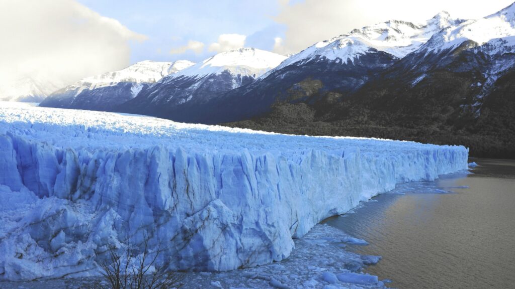
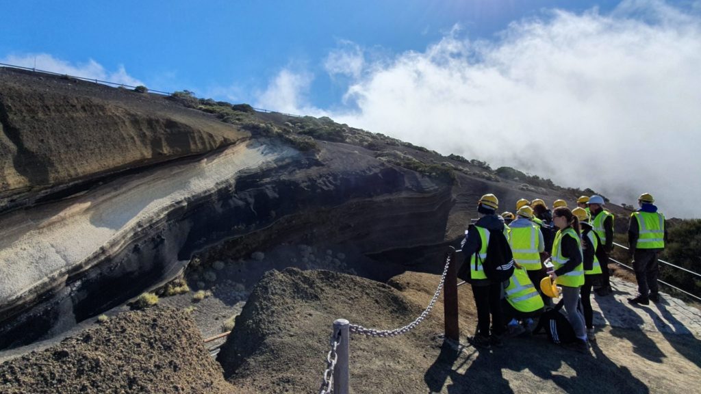
Survey landscapes by drone. Study the relationship between people and environment on field trips. Analyse data with our Geographical Information Systems. If you’re curious about today’s big issues, and like the sound of research-active field trips, geography and geology at Edge Hill is the perfect place to start exploring the world. Discover why we are 1st in the UK overall two years running (Uni Compare 2026 and 2027 – Geography).
Strong connections to the industry to ensure the course is directly relevant to the workplace, from engineering consultancies to government agencies and charities.
2nd in the North West for Graduate Prospects - Outcomes (Complete University Guide 2027 - Geography & Environmental Science)
Tap into current thinking. Past students have presented at conferences and published dissertations, while one even named a fossil.
Ready to apply? Find out more about applying to UCAS, the application process and how to get in touch if you've got any questions.
Apply now
Subject Video
Discover Geography and Geology at Edge Hill University
Curious about the big issues of today? Climate adaptation, resource sustainability, geopolitics – our geography and geology degrees give you the tools to understand them.


Facilities
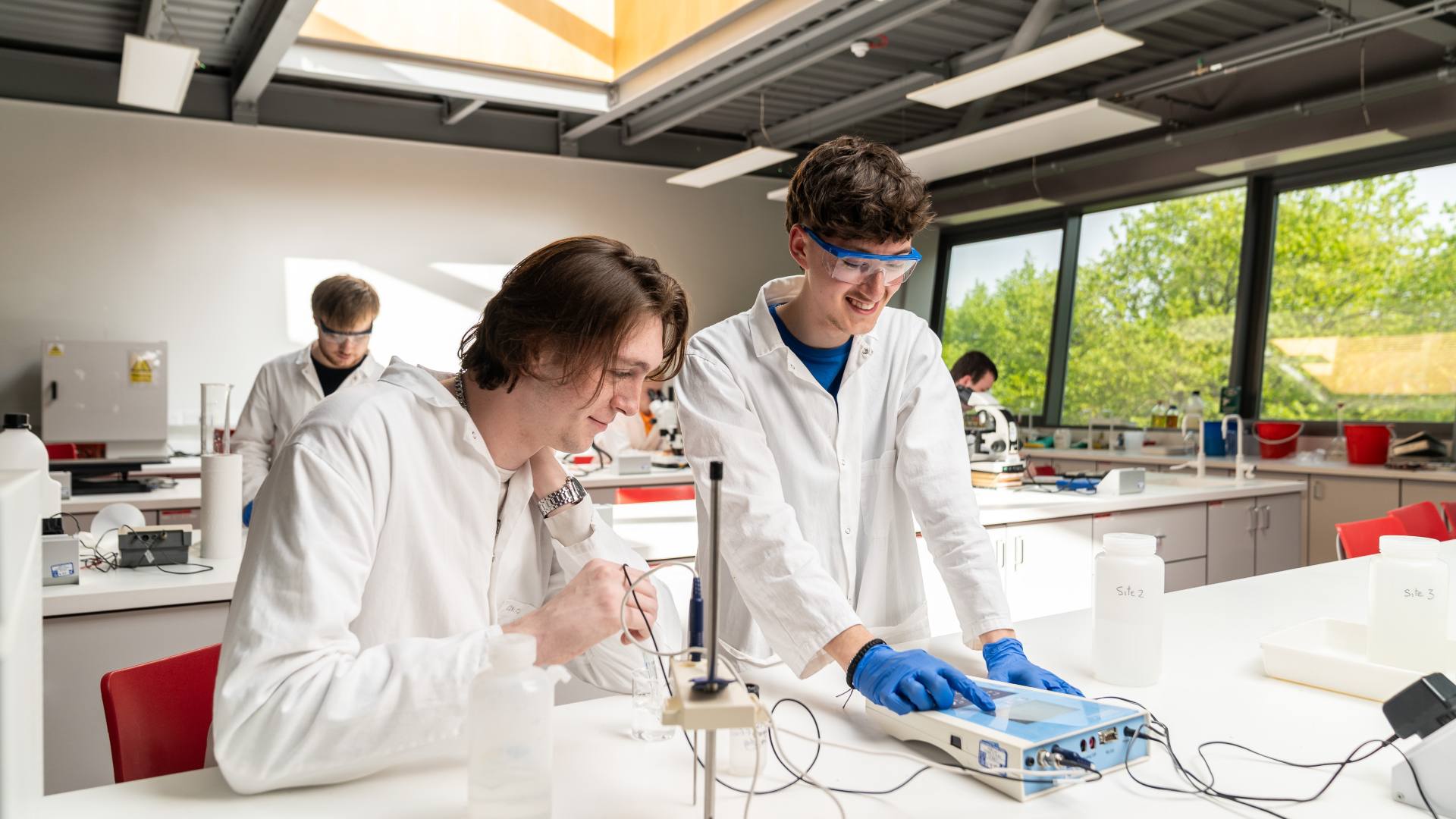
Our modern and wide-ranging geography and geology facilities combine with a friendly and supportive learning environment to ensure that your studies are a rich and rewarding experience.
The Geosciences building features a large lecture theatre, small group teaching rooms, physical geography and environmental science laboratories, a geology laboratory, a geo-engineering laboratory, two Geographical Information Systems (GIS), remote sensing suites, an Emriver system used to model river and tidal systems, and a dedicated social area.