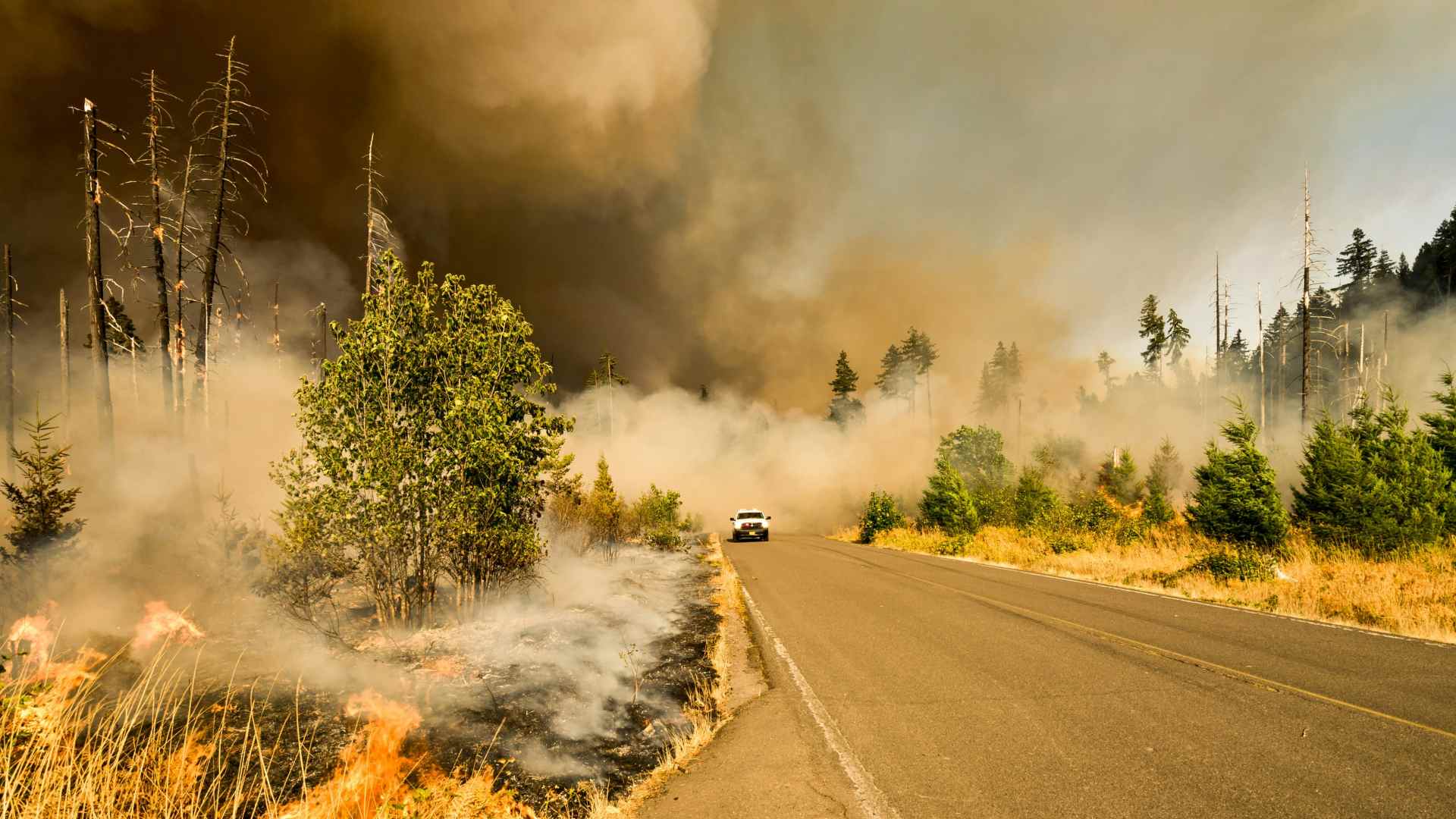
In 2026, heatwaves and prolonged drought have again driven an unprecedented number of wildfires, with over 1,100 incidents reported by mid‑August and tens of thousands of hectares affected.
Against this backdrop, Earth observation and satellite data are becoming critical tools for understanding, predicting and responding to wildfire risk in the UK.
What has changed about the UK’s wildfire threat in 2025-26?
Wildfires in the summer are common, but what is different about this year’s fires is the number and scale of them. We have already had more wildfires this year than the whole of last year. Previously, wildfires have not threatened infrastructure like they have this year. A reason for this is that because we have experienced so much prolonged hot and dry weather, fires are starting more readily and more often, increasing the threat that it brings to people and homes. This year we have had a lot of hot and dry weather, which is not unheard of for a British summer, but the combination of the high heat and long duration without rain has been a distinct threat.
How can satellite data help us understand wildfire risk before a fire starts?
There are many Earth Observation (EO) satellites that orbit the planet and continuously monitor its surface. The commonly thought of ones are satellites which record images, that look much like photographs. However, there is lots of useful data in these images that scientists can use to monitor the moisture in the vegetation and where vegetation has begun to die off. Other satellites measure soil moisture, telling us how dry the ground is, while others can help us determine how dense vegetation is. This allows us to gain an understanding of where the conditions are prone to fires breaking out and what vegetation may fuel the fire when it has started.
Which satellite‑derived indicators most help identify wildfire‑prone conditions in the UK?
When combining various satellites, we can get an image of much of the UK every 2-3 days. This allows us to constantly measure vegetation health and moisture content, directly from the image data. These are common and routine indicators. As fuel is an important component of fires, knowing what condition the land surface is in will help us understand not only where a fire may start but also where it might spread, particularly when combined with additional data like wind speed and wind direction data.
How could satellite monitoring support earlier intervention during prolonged heat and drought?
In periods of prolonged hot and dry weather, monitoring the condition of the natural environment is crucial to forward planning. Knowing where the worst affected areas are located gives an insight into where fires may be likely to start. Understanding patterns of the conditions also allow predictions of where fires may spread, enabling fire services to get ahead of the fires and prepare to create fire breaks. Similarly, knowing where fires will most likely spread will enable early evacuation of populated areas, particularly where moving people may be difficult or require more time. Monitoring water resources is also critical to planning for fires. In periods of prolonged hot and dry weather, rivers and lakes may begin to dry up, making water resources used for containing fires unavailable when most needed.
What does good wildfire intelligence look like and how can satellites improve decision‑making in an active incident?
Satellite products already play a central role in global wildfire modelling and monitoring. Their ability to get a unique perspective arms decision-makers with a view that they cannot get on the ground. A picture also paints a thousand words and while data can often be confusing to non-specialists, maps of areas of dead and dry vegetation or fire risk are easy for decision-makers to understand and use to make informed decisions. Good wildfire intelligence needs to be simple and accessible – maps and images derived from satellite data provides this.
What are the biggest limitations of satellite data in UK wildfire prevention and response?
Many of our satellites are inhibited by cloud cover – while the sky is cloudy the satellite cannot see the ground. This is not a problem when hot weather brings clear skies, but fires can quickly generate thick smoke which lowers the quality of the data and can lead to the formation of large storm clouds under the right conditions, completely blocking the satellites’ view. Even when the sky looks clear above you, clouds could be forming 20-30 miles away and out of your sight, so while the sky may look clear there may be a surprising amount of cloud over the UK which is reducing our ability to monitor the environment in some places.
How should satellite imagery work alongside ground reports, weather models, drones and local knowledge?
The combination of satellite data with other datasets, known as data fusion, is critical to forming a complete and effective operational response. Satellite data is very good at enabling you to see the condition of the Earth’s surface at one point in time or in the past, but to make predictions requires a combination of various datasets. Ground reports are critical for checking the data that is being generated and ensuring that it is trustworthy, while local knowledge is critical for understanding local infrastructure, access routes and resources. Weather data, such as wind speed and direction can be combined with vegetation condition information from satellites to predict where fires may be likely to spread. In addition, drones have a use as fast response units that can respond quickly to changing conditions and capture images at a much higher resolution then we can get from space. This is particularly useful where features like brick walls, which are too small to see in many satellite images, but may act as fire breaks can be seen. This level of detail can be gained safely using drones.
What lessons transfer from coastal change and ecosystem monitoring to wildfire preparedness and recovery?
My work focusses on coastal wetlands which don’t tend to catch fire very often but much of the science I’m interested in transfers directly to wildfire detection, monitoring and recovery. I am interested in where coastal forests are, where they are changing, where they are degrading and what their internal structure, such as size and density is. All these components translate to monitoring the conditions of UK vegetation and what fuel loads may be available. For example, knowing where a dense forest stand is becoming drier can give an indication of where a fire may start or be likely to spread if a fire begins nearby.
How could future satellite technology, open‑source tools and AI transform wildfire prevention and response?
We are in a golden age of Earth Observation. We have a very diverse range of satellite types available to us, giving us science quality data every day for free. Our ability to improve our prediction of and response to wildfires comes down to our ability to combine all this data in the most efficient and accurate way possible. This is where tools such as AI come into play which can help us build models with increased accuracy and deliver insights that we could not previously extract. Open-source tools are critical to this revolution – the more people we can get working on these problems the quicker advancements in the field will be available.
What strategic shift should UK policymakers and planners make before the next major wildfire crisis?
I would urge policymakers to be prepared to invest in the Earth Observation sector. This does not mean that they need to pay for expensive satellites and missions, but there are times when getting hold of high-resolution imagery is critical for a fast response. Much of this data is collected by private companies and they do provide it for fast disaster response, but the sector needs consistent investment to ensure that the data and access to it is there when needed. A clear strategy to support consistent and prolonged EO within the UK will ensure we can prepare and act most effectively.
Edge Hill’s BA (Hons) Geography gives you hands-on experience with GIS, remote sensing and Earth observation. Find out more about the course and how to apply.
September 24, 2026